


WSC graduates inform students about GIS careers
Gibson and Peterson share their experiences in the Geographic Information System field
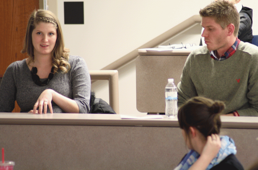
Bailey Gibson (top left) and Jamie Peterson (right) are both geography graduates from WSC. Gibson is a Geography Information System (GIS) technician from Hall County, and Peterson is the GIS supervisor from Pottawattamie County, Iowa.
February 18, 2015
Geography students learned about geospatial technology and its uses in the Hall and Pottawattamie County Geographic Information System (GIS) Departments on Monday.
Gamma Theta Upsilon, the International Geographical Honor Society, invited Bailey Gibson, a GIS technician from Hall County, Neb., and Jamie Peterson, the GIS supervisor from Pottawattamie County, Iowa, to talk about their jobs and share with students tips of their trade, as well as how to get a job in their career field.
Gibson, a WSC graduate, works in Grand Island and is working to get her GIS Certification through Southeast Community College.
“After you get your Bachelor’s degree, you should always expect to do more learning in whatever field you go into,” Gibson said.
She works with the county surveyors in charge of updating and plotting land.Gibson and the others in her team use GPS, Trimble data collectors and receivers and total stations to measure distances and angles.
One surveyor she works with, Wayne, is about 80 years old, carries around a trusty spoon and climbs over fences instead of walking around.
A lot of Gibson’s work involves reviewing and updating information in databases.
“I’m kind of a nerd. I really like databases,” Gibson said.
Gibson uses AutoCAD and ArcMap to do surveys for parcels of land and fill requests for various departments. Whenever a boundary line is changed or elections precincts, county boards or school boards need updated information, Gibson provides them with new maps.
“Making maps gives you creativity within a structure,” Gibson said. “I think it is fun how all the different data can be put into something that is easier to look at.”
Gibson stressed that what really helped her land the job in Hall County was her internship.
“I got a taste of mapping with real world applications.”
Peterson, another WSC alumnus, also stressed the importance of internships in the GIS career field.
Peterson did two internships himself. He believes that internships are important because they provide real world experience, set you apart in the resume pile, broaden your skill set and build professional relationships.
He wishes he had taken advantage of an art/design class, attended a GIS conference and learned a skill complementary to GIS in college.
According to Dr. Lesli Rawlings, all of these skills complementary to GIS that Peterson mentioned are included in the GIS minor.
“You might not make the map, but you might need to interpret the map,” Peterson said.
His department specializes in service-based GIS, facilitating other departments. Peterson doesn’t spend time out in the field like Gibson.
His job is to maintain and author datasets and satisfy public records by providing the attributes and geometry of each area.
His information is used by many people to help them with their work, including, but not limited to; Animal Control, 911 medics, Veteran’s Affairs officers, assessors, attorneys, auditors, the Board of Supervisors, buildings and grounds, community schools, real estate agents and potential buyers.
They also provide maps for emergency management in the event that a catastrophe happens at Fort Calhoun, evacuation routes if Indian Creek floods as well as flood-line maps and put them in different reports.
His department uses pin numbers to organize data, ArcMap and ArcCAD to make maps and data and programs such as Illustrator and Photoshop to make it look professional.
Peterson recommended engineering and agriculture as careers for those interested in the GIS program as similar special analysis and GIS technology are used for those jobs.
“Programming is a skill you will use to make your job easier once you know how to use that software,” Peterson said.
For more information about GIS workshops, conferences or presentations to attend, contact Rawlings at [email protected] or stop by her office in Connell Hall 239.
For more information on internship opportunities, contact Jessie Piper in the Career Services office.
